
Complete Guide to Singapore’s MRT Stations: List, Lines, and Planning Areas
Discover the comprehensive and indispensable resource for navigating Singapore’s Mass Rapid Transit (MRT) system
Gul Circle MRT
[dsm_breadcrumbs separator_icon="9||divi||400" _builder_version="4.17.0"...
Joo Koon MRT
[dsm_breadcrumbs separator_icon="9||divi||400" _builder_version="4.17.0"...
Pioneer MRT
[dsm_breadcrumbs separator_icon="9||divi||400" _builder_version="4.17.0"...
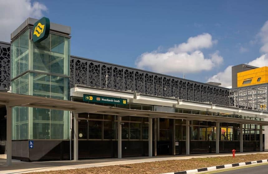
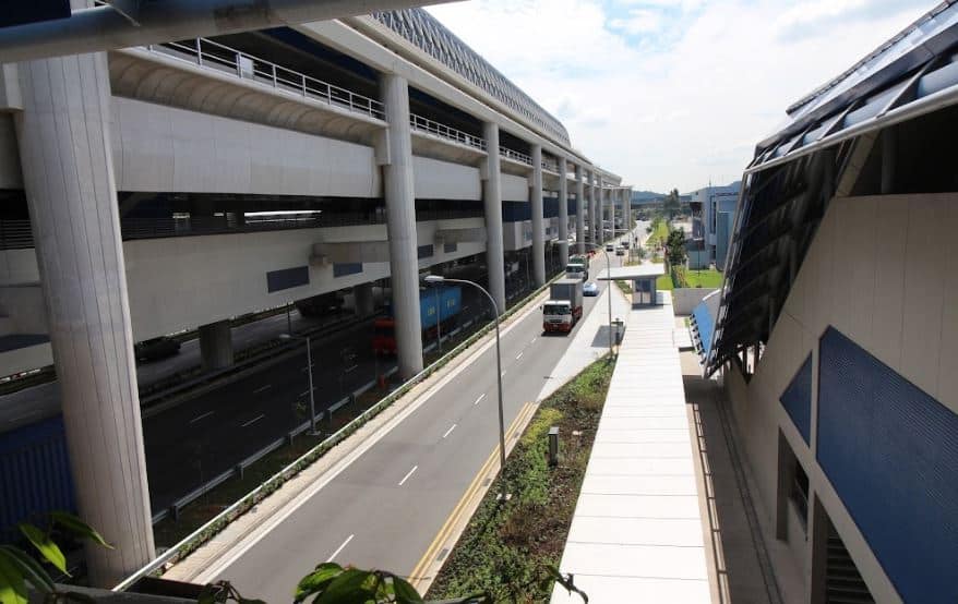
Woodlands South MRT
[dsm_breadcrumbs separator_icon="9||divi||400" _builder_version="4.17.0"...
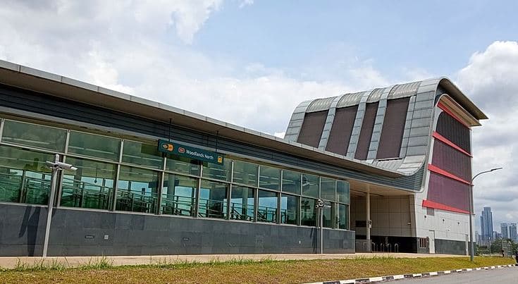
Woodlands North MRT
[dsm_breadcrumbs separator_icon="9||divi||400" _builder_version="4.17.0"...
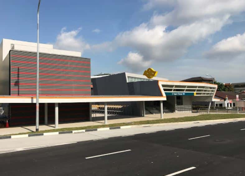
Upper Changi MRT
[dsm_breadcrumbs separator_icon="9||divi||400" _builder_version="4.17.0"...
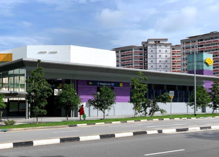
Tampines East MRT
[dsm_breadcrumbs separator_icon="9||divi||400" _builder_version="4.17.0"...
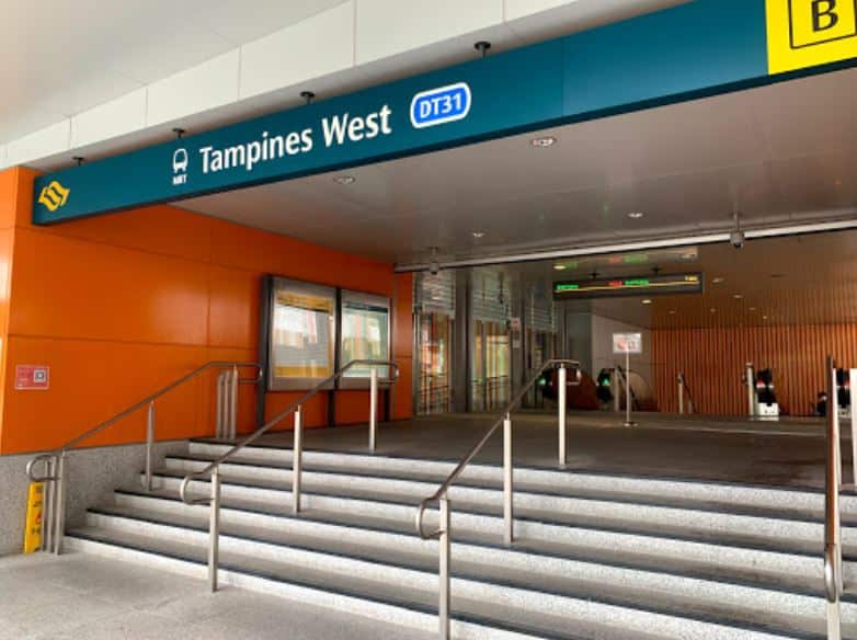
Tampines West MRT
[dsm_breadcrumbs separator_icon="9||divi||400" _builder_version="4.17.0"...
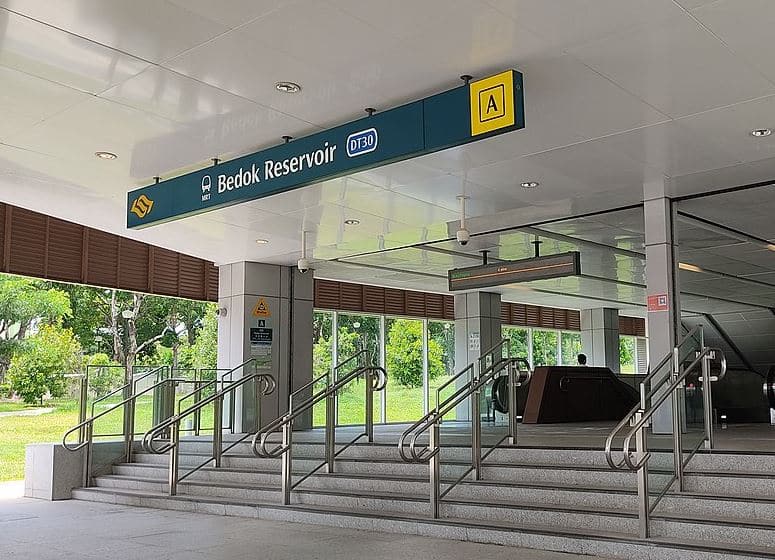
Bedok Reservoir MRT
[dsm_breadcrumbs separator_icon="9||divi||400" _builder_version="4.17.0"...
Bedok North MRT
[dsm_breadcrumbs separator_icon="9||divi||400" _builder_version="4.17.0"...
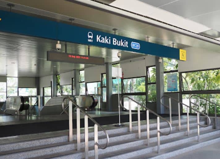
Kaki Bukit MRT
[dsm_breadcrumbs separator_icon="9||divi||400" _builder_version="4.17.0"...
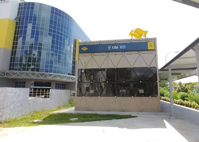
Ubi MRT
[dsm_breadcrumbs separator_icon="9||divi||400" _builder_version="4.17.0"...
| Code | Station Name | Color | Line |
| NS1 EW24 | Jurong East | Red | North South |
| NS2 | Bukit Batok | Red | North South |
| NS3 | Bukit Gombak | Red | North South |
| NS4 BP1 | Choa Chu Kang | Red | North South |
| NS5 | Yew Tee | Red | North South |
| NS7 | Kranji | Red | North South |
| NS | Marsiling | Red | North South |
| NS9 TE2 | Woodlands | Red | North South |
| NS10 | Admiralty | Red | North South |
| NS11 | Sembawang | Red | North South |
| NS12 | Canberra | Red | North South |
| NS13 | Yishun | Red | North South |
| NS14 | Khatib | Red | North South |
| NS15 | Yio Chu Kang | Red | North South |
| NS16 | Ang Mo Kio | Red | North South |
| NS17 CC15 | Bishan | Red | North South |
| NS18 | Braddell | Red | North South |
| NS19 | Toa Payoh | Red | North South |
| NS20 | Novena | Red | North South |
| NS21 DT11 | Newton | Red | North South |
| NS22 | Orchard | Red | North South |
| NS23 | Somerset | Red | North South |
| NS24 NE6 CC1 | Dhoby Ghaut | Red | North South |
| NS25 EW13 | City Hall | Red | North South |
| NS26 EW14 | Raffles Place | Red | North South |
| NS27 CE2 | Marina Bay | Red | North South |
| NS28 | Marina South Pier | Red | North South |
| EW1 | Pasir Ris | Green | East West |
| EW2 DT32 | Tampines | Green | East West |
| EW3 | Simei | Green | East West |
| EW4 CG | Tanah Merah | Green | East West |
| EW5 | Bedok | Green | East West |
| EW6 | Kembangan | Green | East West |
| EW7 | Eunos | Green | East West |
| EW8 CC9 | Paya Lebar | Green | East West |
| EW9 | Aljunied | Green | East West |
| EW10 | Kallang | Green | East West |
| EW11 | Lavender | Green | East West |
| EW12 DT14 | Bugis | Green | East West |
| EW13 NS25 | City Hall | Green | East West |
| EW14 NS26 | Raffles Place | Green | East West |
| EW15 | Tanjong Pagar | Green | East West |
| EW16 NE3 | Outram Park | Green | East West |
| EW17 | Tiong Bahru | Green | East West |
| EW18 | Redhill | Green | East West |
| EW19 | Queenstown | Green | East West |
| EW20 | Commonwealth | Green | East West |
| EW21 CC22 | Buona Vista | Green | East West |
| EW22 | Dover | Green | East West |
| EW23 | Clementi | Green | East West |
| EW24 NS1 | Jurong East | Green | East West |
| EW25 | Chinese Garden | Green | East West |
| EW26 | Lakeside | Green | East West |
| EW27 | Boon Lay | Green | East West |
| EW28 | Pioneer | Green | East West |
| EW29 | Joo Koon | Green | East West |
| EW30 | Gul Circle | Green | East West |
| EW31 | Tuas Crescent | Green | East West |
| EW32 | Tuas West Road | Green | East West |
| EW33 | Tuas Link | Green | East West |
| CG1 DT35 | Expo | Green | Changi Airport Branch |
| CG2 | Changi Airport | Green | Changi Airport Branch |
| NE1 CC29 | HarbourFront | Purple | North East |
| NE3 EW16 | Outram Park | Purple | North East |
| NE4 DT19 | Chinatown | Purple | North East |
| NE5 | Clarke Quay | Purple | North East |
| NE6 NS24 CC1 | Dhoby Ghaut | Purple | North East |
| NE7 DT12 | Little India | Purple | North East |
| NE8 | Farrer Park | Purple | North East |
| NE9 | Boon Keng | Purple | North East |
| NE10 | Potong Pasir | Purple | North East |
| NE11 | Woodleigh | Purple | North East |
| NE12 CC13 | Serangoon | Purple | North East |
| NE13 | Kovan | Purple | North East |
| NE14 | Hougang | Purple | North East |
| NE15 | Buangkok | Purple | North East |
| NE16 STC | Sengkang | Purple | North East |
| NE17 PTC | Punggol | Purple | North East |
| CC1 NS24 NE6 | Dhoby Ghaut | Orange | Circle |
| CC2 | Bras Basah | Orange | Circle |
| CC3 | Esplanade | Orange | Circle |
| CC4 DT15 | Promenade | Orange | Circle |
| CC5 | Nicoll Highway | Orange | Circle |
| CC6 | Stadium | Orange | Circle |
| CC7 | Mountbatten | Orange | Circle |
| CC8 | Dakota | Orange | Circle |
| CC9 EW8 | Paya Lebar | Orange | Circle |
| CC10 DT26 | MacPherson | Orange | Circle |
| CC11 | Tai Seng | Orange | Circle |
| CC12 | Bartley | Orange | Circle |
| CC13 NE12 | Serangoon | Orange | Circle |
| CC14 | Lorong Chuan | Orange | Circle |
| CC15 NS17 | Bishan | Orange | Circle |
| CC16 | Marymount | Orange | Circle |
| CC17 | Caldecott | Orange | Circle |
| CC19 DT9 | Botanic Gardens | Orange | Circle |
| CC20 | Farrer Road | Orange | Circle |
| CC21 | Holland Village | Orange | Circle |
| CC22 EW21 | Buona Vista | Orange | Circle |
| CC23 | one-north | Orange | Circle |
| CC24 | Kent Ridge | Orange | Circle |
| CC25 | Haw Par Villa | Orange | Circle |
| CC26 | Pasir Panjang | Orange | Circle |
| CC27 | Labrador Park | Orange | Circle |
| CC28 | Telok Blangah | Orange | Circle |
| CC29 NE1 | HarbourFront | Orange | Circle |
| CE1 DT16 | Bayfront | Orange | Circle Extension |
| CE2 NS27 | Marina Bay | Orange | Circle Extension |
| DT1 BP6 | Bukit Panjang | Blue | Downtown |
| DT2 | Cashew | Blue | Downtown |
| DT3 | Hillview | Blue | Downtown |
| DT5 | Beauty World | Blue | Downtown |
| DT6 | King Albert Park | Blue | Downtown |
| DT7 | Sixth Avenue | Blue | Downtown |
| DT8 | Tan Kah Kee | Blue | Downtown |
| DT9 CC19 | Botanic Gardens | Blue | Downtown |
| DT10 | Stevens | Blue | Downtown |
| DT11 NS21 | Newton | Blue | Downtown |
| DT12 NE7 | Little India | Blue | Downtown |
| DT13 | Rochor | Blue | Downtown |
| DT14 EW12 | Bugis | Blue | Downtown |
| DT15 CC4 | Promenade | Blue | Downtown |
| DT16 CE1 | Bayfront | Blue | Downtown |
| DT17 | Downtown | Blue | Downtown |
| DT18 | Telok Ayer | Blue | Downtown |
| DT19 NE4 | Chinatown | Blue | Downtown |
| DT20 | Fort Canning | Blue | Downtown |
| DT21 | Bencoolen | Blue | Downtown |
| DT22 | Jalan Besar | Blue | Downtown |
| DT23 | Bendemeer | Blue | Downtown |
| DT24 | Geylang Bahru | Blue | Downtown |
| DT25 | Mattar | Blue | Downtown |
| DT26 CC10 | MacPherson | Blue | Downtown |
| DT27 | Ubi | Blue | Downtown |
| DT28 | Kaki Bukit | Blue | Downtown |
| DT29 | Bedok North | Blue | Downtown |
| DT30 | Bedok Reservoir | Blue | Downtown |
| DT31 | Tampines West | Blue | Downtown |
| DT32 EW2 | Tampines | Blue | Downtown |
| DT33 | Tampines East | Blue | Downtown |
| DT34 | Upper Changi | Blue | Downtown |
| DT35 CG1 | Expo | Blue | Downtown |
| TE1 RTS | Woodlands North | Brown | Thomson–East Coast |
| TE2 NS9 | Woodlands | Brown | Thomson–East Coast |
| TE3 | Woodlands South | Brown | Thomson–East Coast |
Discover Singapore’s Mass Rapid Transit (MRT) system, a reliable and convenient transportation network that connects different parts of the city.
With its state-of-the-art technology and multiple lines, the MRT system ensures seamless travel for both locals and tourists from the bustling city center to scenic neighborhoods, the MRT system covers it all, reducing travel time and promoting sustainability.
Join us as we explore the key lines, stations, and upcoming developments that make Singapore’s MRT system an essential part of the city’s vibrant landscape.
Key Takeaways
| Key Takeaway | Description |
|---|---|
| Singapore’s MRT System | Singapore’s Mass Rapid Transit (MRT) system is a highly efficient and widely used transportation network that connects various parts of the island. It consists of multiple lines, each covering different areas of Singapore, offering a convenient and reliable option for commuters. |
| Importance of MRT | The MRT system plays a crucial role in Singapore’s transportation network by alleviating traffic congestion, reducing reliance on private vehicles, promoting sustainability, and offering a convenient and efficient mode of travel. |
| Popularity Among Locals | The MRT system is popular among both locals and tourists due to its reliability, punctuality, strategic station locations, cleanliness, and seamless integration with other modes of transportation. |
| North-South Line Overview | The North-South Line connects Marina Bay to Jurong East, covering various areas like the downtown core, Orchard Road, and residential neighborhoods. It provides easy access to popular destinations, business districts, and residential areas. |
| East-West Line Overview | The East-West Line stretches from Changi Airport to Tuas Link, connecting residential towns, business districts, and major transportation hubs. It greatly improves connectivity between different parts of Singapore, making commuting easier. |
| Circle Line Overview | The Circle Line encircles the central area of Singapore, providing access to attractions like Marina Bay Sands, Gardens by the Bay, and various planning areas like Bras Basah and Paya Lebar. It is a convenient mode of transportation for commuters. |
| Thomson-East Coast Line | The Thomson-East Coast Line is an upcoming MRT line that will link the north and east of Singapore to the eastern part of the island, enhancing accessibility and convenience for residents and businesses. |
| North-East Line Overview | The North-East Line stretches from Punggol to HarbourFront, serving as a vital transportation link for residents along the route. It has interchange stations that improve connectivity to other lines and significant areas in the city. |
| Downtown Line Overview | The Downtown Line covers the central region of Singapore, providing seamless connectivity from Bukit Panjang to Expo. It has key stations located near landmarks, shopping malls, and residential areas, making it convenient for residents and tourists. |
| Cross Island Line Overview | The Cross Island Line is an anticipated addition to Singapore’s MRT network, aiming to enhance connectivity between the eastern and western regions. It will feature interchange stations to connect with other existing lines and planned developments. |
| Jurong Region Line Overview | The Jurong Region Line will transform the western region of Singapore, connecting areas like Jurong East and Jurong West. It will have interchange stations and provide improved transport options and accessibility to key areas. |
| Interchange Stations | Interchange stations are crucial points in the MRT system, allowing commuters to transfer from one line to another seamlessly. They enhance travel convenience and accessibility to various parts of Singapore. |
| Payment Options | Commuters can use EZ-Link cards or contactless bank cards for MRT fare payment, offering a convenient cashless option. Mobile wallets like Google Pay can also be used for payment. |
| Notable MRT Stations | Various MRT stations are strategically located near popular attractions and areas, such as Albert Park, Merlion Park, and Bedok Town Park. They provide easy access to iconic landmarks and green spaces for residents and tourists to explore. |
| Upcoming MRT Lines | Singapore is expanding its MRT network with upcoming lines, including the Circle Line extension, Downtown Line extension, and Cross Island Line. These new lines will further enhance connectivity and accessibility across the |
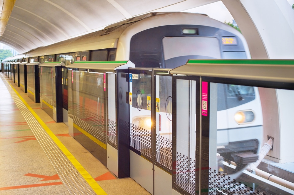
Introduction to Singapore’s Mass Rapid Transit (MRT) System
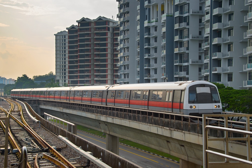
Singapore’s Mass Rapid Transit (MRT) system is a highly efficient and widely used transportation network that connects various parts of the island.
It is a rapid transit system that consists of multiple lines, each covering different areas of Singapore.
The MRT system plays a crucial role in Singapore’s transportation network, offering a convenient and reliable option for both locals and tourists to commute.
What is the MRT system in Singapore?
The MRT system in Singapore is a state-of-the-art railway system that facilitates seamless transportation across the island.
It consists of several lines, including the North-South Line, East-West Line, Circle Line, and Thomson-East Coast Line, among others.
These lines provide extensive coverage across Singapore, making it easy for commuters to travel to various destinations.
How does the MRT system contribute to Singapore’s transportation
network?
The MRT system is a vital component of Singapore’s transportation network.
It helps alleviate traffic congestion and reduces reliance on private vehicles.
The system provides a convenient and efficient mode of travel, reducing travel time between different parts of the city.
Additionally, it promotes sustainability by encouraging more people to use public transportation, thereby reducing carbon emissions.
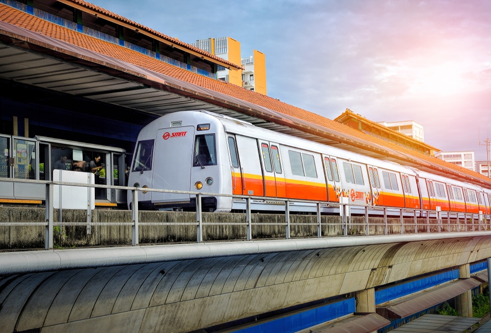
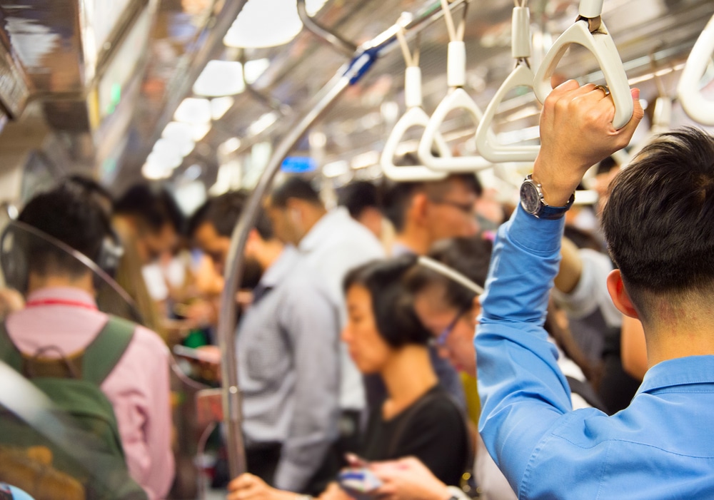
Why is the MRT system popular among locals and tourists?
The MRT system in Singapore is popular among both locals and tourists for several reasons.
First, it offers a reliable and punctual mode of transportation, ensuring that commuters reach their destinations on time.
Second, the MRT stations are strategically located, making them easily accessible from various parts of the city.
Third, the system is well-maintained, providing a clean and comfortable travel experience.
Finally, the MRT system is integrated with other modes of transportation, such as buses and taxis, providing a seamless journey from start to end.
Overview of the North-South Line: Connecting Marina Bay to Jurong East
The North-South Line is one of the major MRT lines in Singapore, connecting Marina Bay in the south to Jurong East in the northwest.
This line covers a wide range of areas, including the downtown core, Orchard Road, and various residential neighborhoods.
With several key stations along its route, commuters can conveniently access popular destinations, business districts, and residential areas.
Which areas does the North-South Line cover?
The North-South Line covers various areas in Singapore, including Marina Bay, Orchard, Novena, Toa Payoh, Ang Mo Kio, and Jurong East.
Each of these areas has its unique attractions, shopping centers, and residential neighborhoods.
What are some key stations along the North-South Line?
The North-South Line features several key stations that are well-connected to other parts of Singapore.
Some notable stations include Marina Bay, Raffles Place, Orchard, Newton, and Jurong East.
These stations provide easy access to popular attractions, shopping malls, and transportation hubs.
How can commuters benefit from the North-South Line?
Commuters can greatly benefit from the North-South Line as it offers a convenient and fast mode of transportation.
The line connects major commercial and residential areas, making it easy for commuters to reach their workplaces, schools, or homes.
Additionally, the North-South Line is integrated with other lines, allowing seamless transfers and shorter travel times.
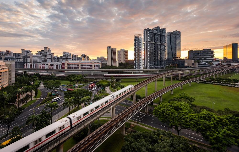
Exploring the East-West Line: From Changi Airport to Tuas Link
The East-West Line is another important MRT line in Singapore that stretches from Changi Airport in the east to Tuas Link in the west.
This line connects various areas, including residential towns, business districts, and major transportation hubs.
What are the important stations on the East-West Line?
The East-West Line features key stations such as Tanah Merah, Bugis, Raffles Place, Outram Park, and Jurong East.
These stations are strategically located and provide easy access to popular attractions, residential areas, and commercial centers.
How does the East-West Line connect different parts of Singapore?
The East-West Line connects different regions of Singapore, allowing commuters to travel seamlessly across the island.
It serves as a vital link between the east and west, providing easy access to popular destinations like Changi Airport, Central Business District, and Jurong Industrial Estate.
This line has greatly improved connectivity between various parts of Singapore, making it easier for people to commute.
Are there any major attractions near the stations on the East-West
Line?
Yes, there are several major attractions near the stations on the East-West Line.
For example, Bugis station is close to Bugis Street, a vibrant shopping and dining destination.
Raffles Place station is near Marina Bay Sands and the central business district.
Jurong East station provides access to Jurong Lake, a scenic recreational hub.
Commuters can explore these attractions conveniently by using the East-West Line.
Navigating the Circle Line: Discovering the Central Area and Beyond
The Circle Line is a popular MRT line that encircles the central area of Singapore, connecting various neighborhoods and attractions.
It provides easy access to the downtown core, as well as several residential and tourist hotspots.
What are the highlights of the Circle Line?
The Circle Line offers access to several highlights in Singapore, including Marina Bay Sands, Gardens by the Bay, and the Singapore Sports Hub.
It also connects various planning areas, such as Bras Basah, Holland Village, and Paya Lebar, enabling commuters to explore different parts of the city.
Which areas does the Circle Line pass through?
The Circle Line passes through several areas in Singapore, including downtown core, Marina Bay, Paya Lebar, Bishan, and Serangoon.
The line’s route covers both central business districts and residential neighborhoods, making it a convenient mode of transportation for a wide range of commuters.
How can commuters make the most of the Circle Line?
Commuters can make the most of the Circle Line by utilizing the various stations along its route.
The line provides access to numerous attractions, shopping malls, and dining options.
Additionally, the Circle Line offers connections to other MRT lines, allowing commuters to easily transfer to different parts of Singapore.
The Thomson-East Coast Line: Linking the North and East of Singapore
The Thomson-East Coast Line is an upcoming MRT line that will further improve Singapore’s transportation network.
It will connect the north and northeast regions of Singapore to the eastern part of the island, providing greater accessibility and convenience for commuters.
What is the significance of the Thomson-East Coast Line?
The Thomson-East Coast Line is significant as it will enhance connectivity between the north, northeast, and east of Singapore.
It will provide residents with more transportation options and improve accessibility to various areas of the island.
The line will also bring benefits to local businesses and stimulate economic growth in the connected regions.
Which neighborhoods are connected by the Thomson-East Coast
Line?
The Thomson-East Coast Line will connect several neighborhoods in Singapore, including Woodlands, Ang Mo Kio, Marine Parade, and Bedok.
These areas have a mix of residential, commercial, and recreational facilities and will enjoy improved accessibility once the line is operational.
What are the future developments planned along the Thomson-
East Coast Line?
The Thomson-East Coast Line is set to bring about various future developments in the areas it serves.
The line will facilitate the development of new residential estates, commercial hubs, and recreational spaces.
It will also boost tourism by providing efficient access to popular attractions along the East Coast, such as East Coast Park and Changi Beach.
Understanding the North-East Line: Connecting Punggol to HarbourFront
Overview of the North-East Line
The North-East Line (NEL) is one of the oldest MRT lines in Singapore and stretches from Punggol in the north to HarbourFront in the south.
It covers a distance of approximately 20 kilometers and serves as a vital transportation link for residents living along its route.
MRT Stations along the North-East Line
The NEL is home to several key MRT stations such as Farrer Park, Bukit Batok, and Tampines East.
These stations are strategically located to provide easy access to nearby residential areas, commercial hubs, and popular attractions.
Interchange Stations along the North-East Line
Interchange stations, such as Jurong East MRT and Bayfront MRT, play a significant role in improving connectivity between different MRT lines.
Commuters can conveniently switch from the NEL to other lines, like the Circle Line (CC) or Downtown Line, to reach their desired destinations.
Exploring the Downtown Line: Discovering the Heart of Singapore
Overview of the Downtown Line
The Downtown Line (DTL) is another important MRT line in Singapore that covers the central region of the island.
Spanning over 40 kilometers, the DTL offers seamless connectivity from Bukit Panjang in the west to Expo in the east.
MRT Stations along the Downtown Line
Traveling along the DTL allows passengers to access popular stations such as Bayfront, Telok Ayer, and Buangkok.
These stations are strategically located near major landmarks, shopping malls, and residential areas, providing convenience to residents and tourists alike.
Interchange Stations along the Downtown Line
Interchange stations are an essential part of the MRT system, and the Downtown Line is no exception.
Passengers can easily transfer to other lines, like the North-East Line or Circle Line, at interchange stations such as Promenade MRT and Botanic Gardens.
Overview of the Cross Island Line: Enhancing Connectivity in Singapore
Overview of the Cross Island Line
The Cross Island Line (CRL) is a highly anticipated addition to Singapore’s MRT network.
Currently, under construction, the CRL aims to enhance connectivity between the eastern and western regions of the island, serving areas like Hougang and Bukit Panjang.
Planned MRT Stations along the Cross Island Line
Although the CRL is still in its construction stage, several planned MRT stations have been announced.
These stations, including Thomson Line Station and Jurong Region Line Station, will provide residents with improved transport options and better accessibility to key areas of Singapore.
Interchange Stations along the Cross Island Line
Interchange stations are crucial for seamless travel across different MRT lines, and the CRL will feature interchange stations that connect to existing lines, like the North-East Line extension or the Circle Line (CC).
These interchange stations will ensure smooth and convenient journeys for commuters.
An Introduction to the Jurong Region Line: Transforming the West
Overview of the Jurong Region Line
The Jurong Region Line (JRL) is an upcoming MRT line that aims to transform the western region of Singapore.
Once completed, the JRL will provide enhanced connectivity to areas like Jurong East and Jurong West, improving accessibility for residents and commuters.
MRT Stations along the Jurong Region Line
The JRL will feature several MRT stations such as Bukit Panjang, Choa Chu Kang, and Jurong East.
These stations will serve as vital links for residents, offering convenient connections to other parts of Singapore and reducing travel time.
Interchange Stations along the Jurong Region Line
Interchange stations play a vital role in the MRT system, allowing commuters to transfer between different lines easily.
The JRL will have interchange stations strategically located to connect with existing lines, expanding connectivity options for residents and visitors.
Planning Your Journey: Interchange Stations and Transfer Options
Understanding Interchange Stations
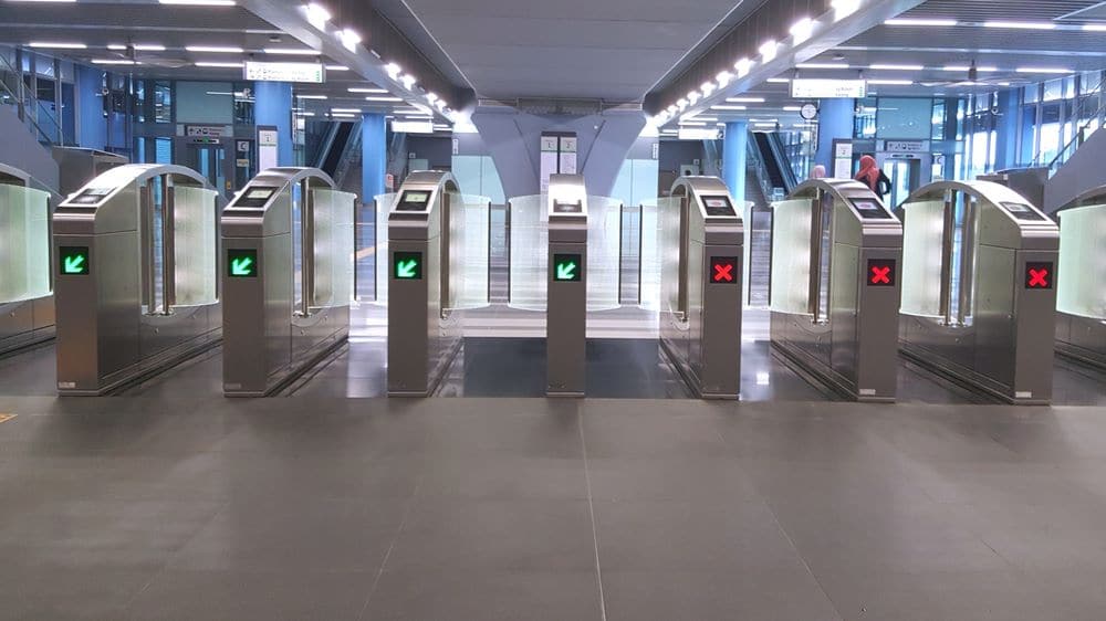
Interchange stations are key points in the MRT system where commuters can transfer from one line to another.
These stations are strategically positioned to ensure seamless travel and easy access to various parts of Singapore.
Transfer Options between Different MRT Lines
Transferring between different MRT lines is made easy with well-designed interchange stations.
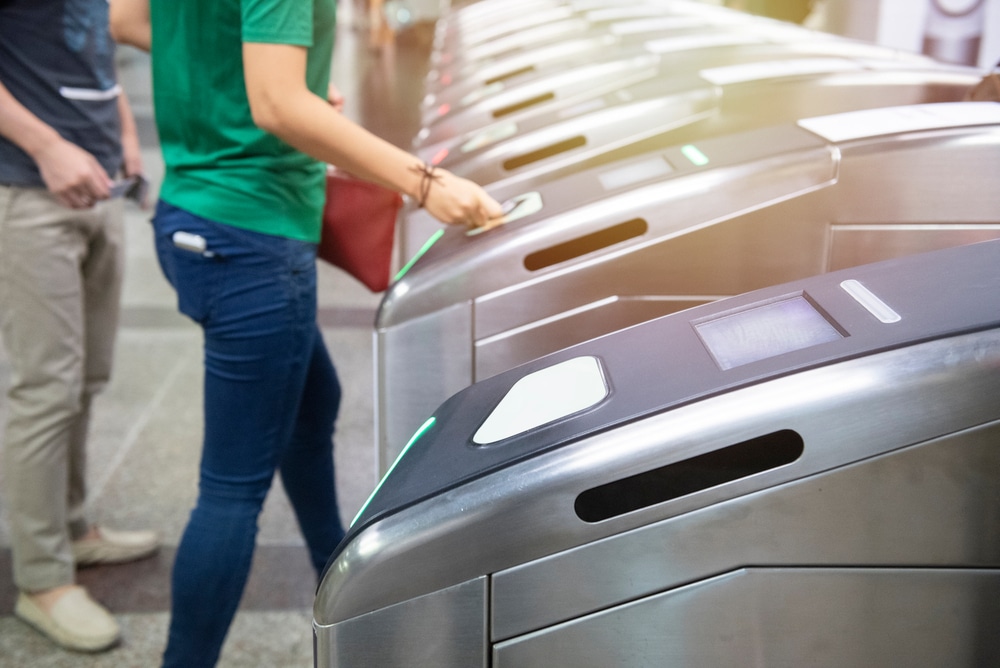
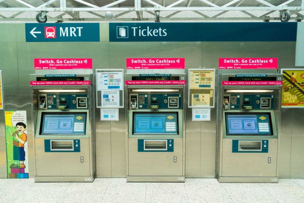
Passengers can use their EZ-Link cards or contactless bank cards to pay for their fare at these stations, providing a convenient and hassle-free way to travel.
Using EZ-Link Cards and Other Payment Methods
EZ-Link cards are the most commonly used payment method on the MRT system.
These cards can be purchased at convenience stores or topped up at various locations.
Alternatively, commuters can also use mobile wallets like Google Pay to pay for their MRT rides, offering a convenient cashless option.
Notable MRT Stations and Landmarks in Singapore
The Land Transport Authority (LTA) plays a crucial role in Singapore’s transportation infrastructure.
It oversees the planning and development of the Mass Rapid Transit (MRT) system, which is a key component of the city-state’s efficient transportation network.
The LTA closely collaborates with various stakeholders to ensure the smooth operation and expansion of the MRT network, connecting Singaporeans to different parts of the island.
The MRT system, also known as the Mass Rapid Transport, is Singapore’s state-of-the-art rail network.
It boasts multiple lines that serve different parts of the city-state, providing commuters with a fast and reliable mode of transportation.
The MRT is known for its efficiency, cleanliness, and convenience.
It has become an iconic feature of Singapore’s urban landscape.
Thomson Line is one of the upcoming MRT lines in Singapore.
It will have several stations along its route, each with a unique name.
Some of the station names include Albert Park, Merlion Park, and Bedok Town Park.
These stations will be strategically located near popular attractions and areas to enhance accessibility for residents and tourists alike.
Convenient Locations: MRT Stations Near Popular Attractions and Areas
Albert Park
Albert Park MRT station is a prime location for those looking to explore the lively city of Singapore.
It is situated near the bustling Central Business District and offers easy access to various shopping malls, restaurants, and entertainment venues.
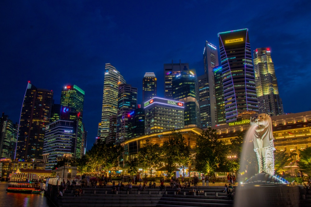
From Albert Park, one can conveniently visit iconic attractions such as Marina Bay Sands and Gardens by the Bay.
Merlion Park
Merlion Park is a must-visit landmark in Singapore, and luckily, it has its own MRT station.
Located near the scenic Marina Bay waterfront, Merlion Park MRT station provides easy access to this iconic symbol of Singapore.
Visitors can take memorable photos with the majestic Merlion statue and enjoy stunning views of the city skyline.
Bedok Town Park
For nature enthusiasts, Bedok Town Park MRT station is the gateway to a peaceful oasis in the heart of the city.
This station is conveniently located near Bedok Reservoir Park, a serene green space where visitors can relax, jog, or have a picnic.
The park is also popular among water sports enthusiasts, offering activities such as kayaking and canoeing.
Exploring the Future: Upcoming MRT Lines and Station Developments
Circle Line (CC)
The Circle Line (CC) is an existing MRT line that connects various parts of Singapore.
It serves as a vital transportation artery, providing seamless connectivity for commuters.
The CC line has multiple stations, including Alexandra, Labrador Park, Tanjong Berlayar, and many more.
These stations serve as important transport hubs and link commuters to key residential and commercial areas.
Downtown MRT Line Extension
The Downtown MRT Line Extension is an upcoming addition to Singapore’s MRT network.
This extension aims to enhance connectivity to the downtown area, linking commuters to popular destinations such as the Convention Centre, Esplanade, and Memorial Park.
The extension will facilitate easier access to these landmarks, making it more convenient for residents and tourists to explore Singapore.
East-West Line (EW)
The East-West Line (EW) is Singapore’s first MRT line and one of the busiest.
It spans across the island, connecting the eastern and western regions.
The EW line serves several important stations, including Tampines East, Rochor, and Farrer Park Hospital.
These stations play a crucial role in providing efficient transportation services to residents and visitors.
Tips for Using the MRT: Tickets, Cards, and Payment Options
Tampines East
Tampines East MRT station is located in the bustling town of Tampines.
It offers various ticketing options for commuters, including the use of a card for travel.
The MRT system in Singapore utilizes a comprehensive fare system based on the distance traveled.
Commuters can conveniently use debit cards or purchase tickets at the station to enjoy a seamless journey across the island.
Rochor
Rochor MRT station is situated near the vibrant Bugis area.
It is a popular transport hub that provides easy access to multiple attractions, shopping malls, and cultural landmarks.
Rochor MRT station serves as an important junction for commuters traveling between different parts of the city-state.
Farrer Park Hospital
Farrer Park Hospital MRT station is strategically located near the medical hub of Singapore.
It offers convenient access to Farrer Park Hospital and other healthcare facilities in the vicinity.
This station ensures that patients, visitors, and healthcare professionals can travel easily and efficiently to and from the hospital.
Conclusion
In conclusion, Singapore’s Mass Rapid Transit (MRT) system is an efficient and reliable transportation network that connects various parts of the island.
It plays a vital role in reducing traffic congestion and promoting sustainability by encouraging the use of public transportation.
The MRT system is popular among both locals and tourists due to its punctuality, accessibility, and integration with other modes of transportation.
We have explored the different MRT lines in Singapore, including the North-South Line, East-West Line, Circle Line, Thomson-East Coast Line, North-East Line, Downtown Line, Cross Island Line, and Jurong Region Line.
Each line covers different areas and offers convenient access to various attractions, business districts, and residential neighborhoods.
To plan your journey, take advantage of the interchange stations that allow seamless transfers between different MRT lines.
You can use EZ-Link cards or other contactless payment methods for a convenient and cashless travel experience.
If you’re interested in learning more about Singapore’s MRT system and exploring specific areas or attractions, we encourage you to check out our other blog articles.
Discover how the MRT lines connect to popular destinations and get insider tips for using the MRT network effectively.
Explore our blog for more in-depth information and enjoy a smooth and convenient travel experience with Singapore’s Mass Rapid Transit system.
Frequently Asked Questions
What is the list of MRT stations in Singapore?
The list of MRT stations in Singapore includes stations from different lines such as the Circle Line (CC), East-West Line (EW), Downtown Line (DT), North East Line (NE), and Thomson-East Coast Line (TEL).
The stations are spread across various planning areas of Singapore.
What is the Singapore Metro?
The Singapore Metro, also known as the Mass Rapid Transit (MRT) system, is a rapid transit system that provides efficient transportation throughout Singapore.
It comprises several MRT lines and LRT lines, connecting different parts of the city.
How can I find a complete list of MRT stations in Singapore?
You can find a complete list of MRT stations in Singapore by referring to official sources such as the Land Transport Authority’s website.
They provide an up-to-date and comprehensive list of stations across all MRT lines.
How much is the price for using the MRT in Singapore?
The price for using the MRT in Singapore depends on the distance traveled.
The fare structure is based on the distance commuters travel and is divided into different fare bands.
The specific fare for your journey can be calculated using the distance and fare tables available.
Can you provide a list of Thomson Line station names?
The Thomson Line, also known as the Thomson-East Coast Line (TEL), has several stations along its route.
Some of the Thomson Line station names include Marina Bay, Gardens by the Bay, Tanjong Rhu, Katong Park, and Marine Terrace.
For a complete list, you can refer to the official sources or maps of the Thomson Line.
How many MRT lines are there in Singapore?
Currently, there are six MRT lines in Singapore.
They are the East-West Line, North-South Line, North East Line, Circle Line, Downtown Line, and Thomson-East Coast Line.
How reliable is the MRT system in Singapore?
The MRT system in Singapore is known for its reliability.
The trains and infrastructure are well-maintained, and breakdowns are rare.
However, like any transportation system, occasional disruptions may occur due to unforeseen circumstances or maintenance works.
Can I use the MRT to reach major attractions and areas of interest in Singapore?
Yes, the MRT system in Singapore is designed to provide convenient access to major attractions and areas of interest.
Many stations are strategically located near popular tourist spots, shopping malls, and business districts.
You can refer to maps or use online guides to plan your journey.
How does the MRT system integrate with other forms of public transport in Singapore?
The MRT system in Singapore integrates seamlessly with other forms of public transport, including buses and LRT lines.
You can use the same contactless payment card, such as the EZ-Link card, to transfer between different modes of transport without the need for multiple tickets or fares.
Are there any heritage sites or temples near MRT stations in Singapore?
Yes, Singapore has several heritage sites and temples located near MRT stations.
For example, you can visit the Thian Hock Keng Temple near the Telok Ayer MRT station or the Sri Mariamman Temple near the Chinatown MRT station.
Exploring these rich cultural sites is a great way to immerse yourself in Singapore’s heritage.