Bartley MRT
Know More About The Bartley MRT
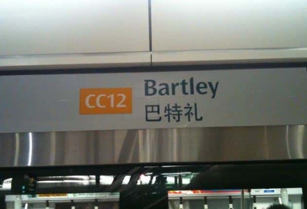
Bartley MRT station is an underground MRT station in Singapore’s Serangoon and Toa Payoh planning districts, located on the Circle line’s Stage 3 border.
This Bartley MRT locates between How Sun Area, Maris Stella High School, and Ramakrishna Mission Singapore and serves the Serangoon Avenue 1 residential estate and the forthcoming Bidadari estate.
About
It’s near the How Sun Estate and Maris Stella High School, beneath Bartley Road. The architectural design of Bartley station is identical to that of Lorong Chuan and Marymount, all CCL Stage 3 stations. The station, built in conjunction with extensive improvements to Bartley Road, includes the building of grade-separated road interchanges with Upper Serangoon Road and Upper Paya Lebar Road.
History
In July 2003, Wan Soon Construction Pte Ltd was awarded Contract C851A for the construction and completion of Bartley station for a price of S$63.5 million. This station was constructed in conjunction with the Outer Ring Road System project, which entails extending Bartley Road to Eunos Road via a viaduct over a portion of Kim Chuan Depot’s underground site. [4] For the station’s development, a stretch of Bartley Road shifted on August 13, 2003. Upper Paya Lebar Road was renovated as part of the project and opened on January 17, 2010, as an underpass leading to MacPherson and Paya Lebar. The station rest of Stage 3 first opened on May 28, 2009.
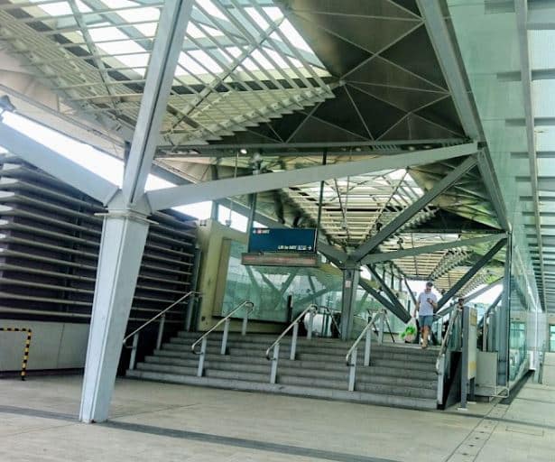
Circle Line of Platforms (B2):
The island platform configuration at Bartley station includes two platforms. The air-conditioned station is isolated from the subterranean environment by full-height Platform screen doors, which improve commuter safety and station comfort.
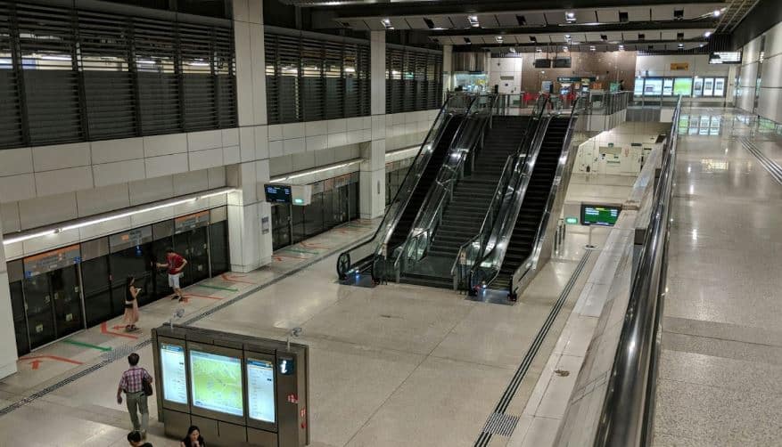
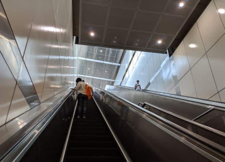
The platform level is connected to the concourse level one floor above through escalators, stairs, and a lift. The concourse wraps around the platform, generating a sense of spaciousness by creating an inner space around the platform’s centre. Expected train arrival times and messages displayed on Passenger Information Systems are plasma display panels positioned at each platform. Tactile flooring aids the sight impaired in getting from the platform to the station exits. A pair of lines branch out to Kim Chuan Depot just south of Bartley station.
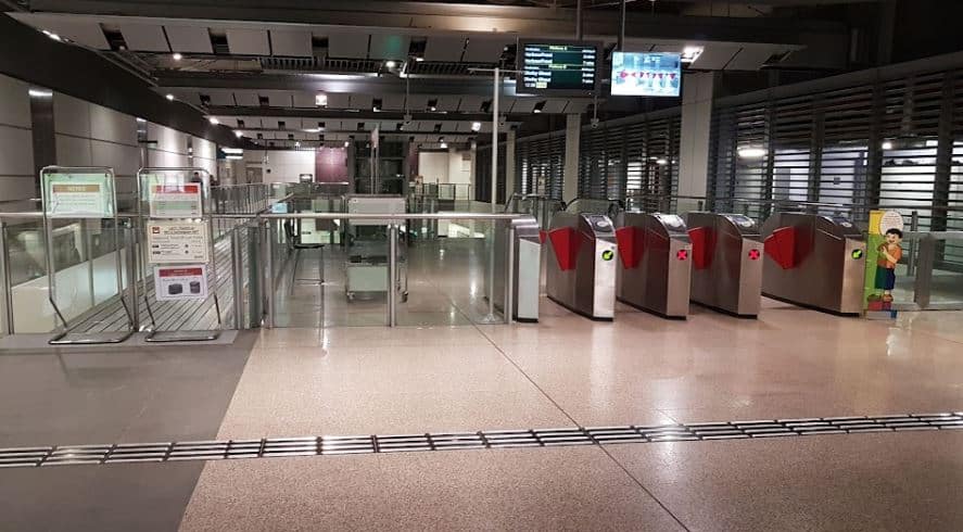
Concourse
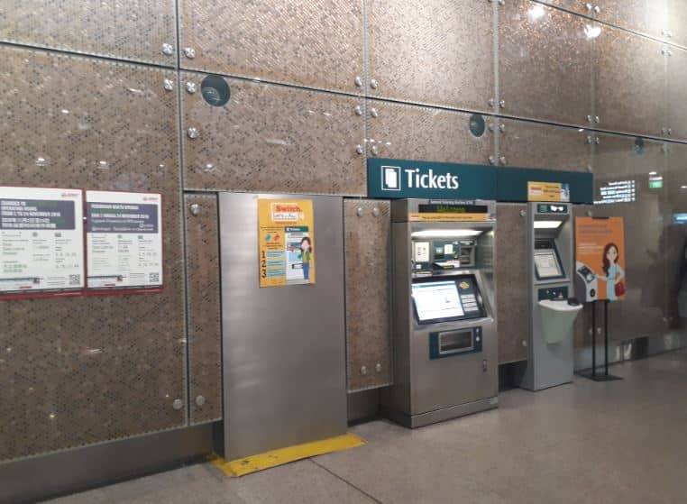
The station concourse on Basement 1 has faregates for automatic fee collection and access between paid and unpaid portions of the station, including at least one bidirectional wide-swinging gate for passengers in wheelchairs, those carrying heavy objects, or those travelling with prams. The concourse has an unpaid walkway that allows pedestrians to transit between station exits without having the rail network’s paid zones. Commuters can buy tickets for single or multiple travels from General Ticketing Machines, which Top-up Machines accept contactless card transactions.
Shelter for Civil Defense
Bartley CCL station is one of eleven Civil Defense (CD) shelters along the Circle Line that will activate in the event of a national disaster. The stations are constructed and supplied with facilities to guarantee that the shelter environment is comfortable for all shelters during their stay. Protective blast doors, decontamination facilities, ventilation systems, power and water supply systems, and a dry toilet system are among the features available.


