Fort Canning MRT
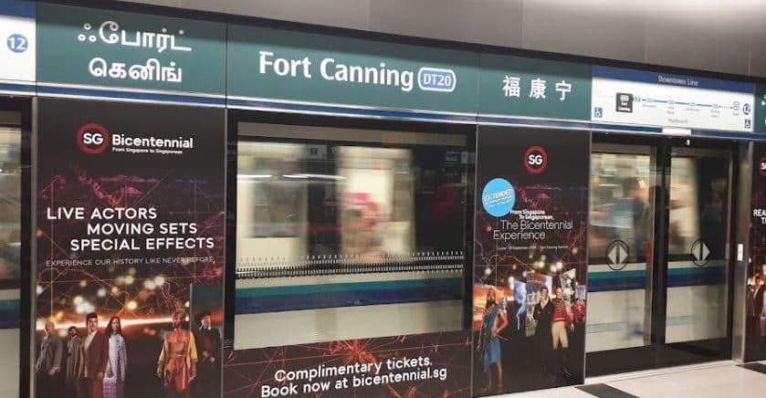
Want To Know More About Fort Canning MRT?
The Fort Canning MRT station is an underground MRT station on the Downtown Line (DTL) in Singapore, located on the border Museum and Singapore River planning zones. The Fort Canning MRT is on the northern side of the Singapore River, at the foot of Fort Canning, after which it is named. The station serves UE Square, Clarke Quay, and Fort Canning Park, among other buildings.
The construction of the connecting tunnels to the station announced as River Valley MRT station in August 2010 was one of the most complex projects on the DTL. It required the diversion of the Singapore River and the construction of tunnels to the nearby Bencoolen station near existing functioning tunnels.
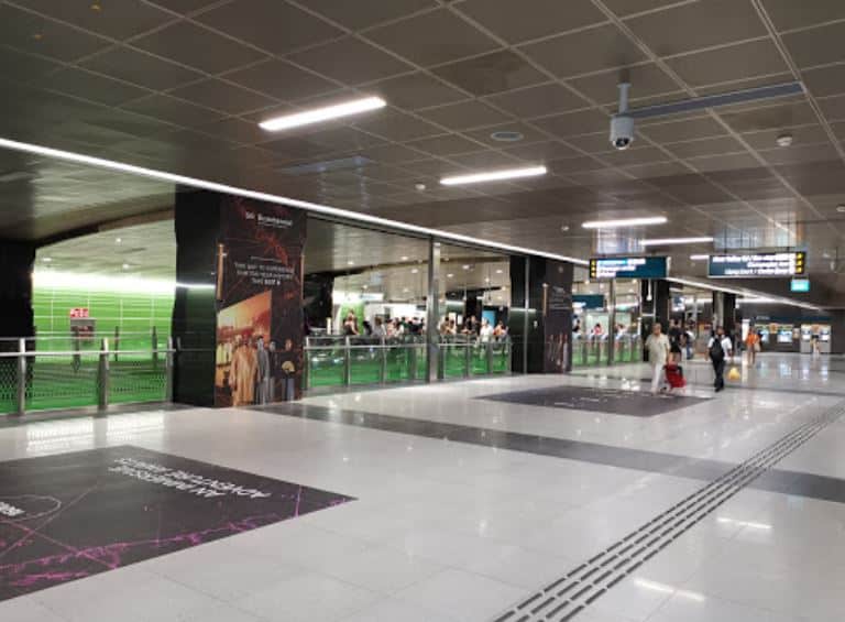
About
It is near the intersection of Clemenceau Avenue and River Valley Road.
Fort Canning Hill, a tiny hill just north of the station with historical significance, is the station’s name. In 1859 was given a military name; in honour of then-Governor-General Charles Canning. To this day, it is still known as Fort Canning. Aside from serving Fort Canning Hill, the station is close to the Clarke Quay entertainment district Valley home shopping malls, offices, hotels, and residential houses.
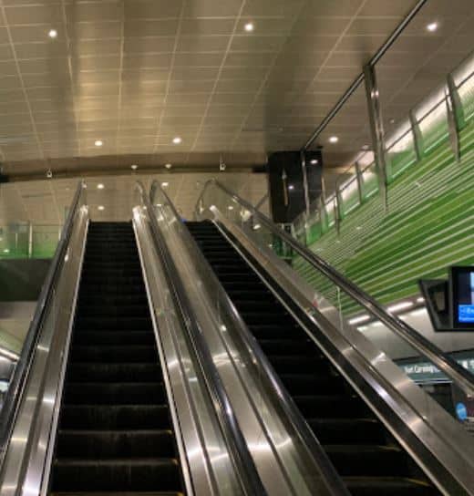
Station information
Chinatown and Bencoolen stations Fort Canning station serves the Downtown Line (DTL). According to official maps, the station code is DT20. The station is located beneath River Valley Road at the foot of Fort Canning Hill, as its name suggests. Clarke Quay, Robertson Quay, UE Shopping Mall, and Fort Canning Park are nearby religious buildings, Church of Sacred Heart and Sri Thendayupathani Temple. The station that used to serve Liang Court is now being replaced by CanningHill Piers, a mixed-use development connected to the station. The underground station is 17.5 metres (57 feet) deep. The station has two exits and is 250 metres long (270 yds).
Station design
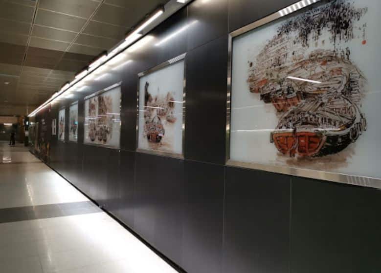
Through His Eyes by Lim Tze Peng is on exhibit at this station as part of the MRT system’s Art-in-Transit (AiT) programme. The watercolour picture depicts Fort Canning’s history Singapore River was once a thriving harbour. The artwork from the viewpoint of Sir Stamford raffles of modern Singapore Hill house. Because Lim no longer works as an artist, the work was chosen from the artist’s collection by the AiT team.
Travellers should see “Through His Eyes” as river images “worthy of our recall and memories” to the artist.
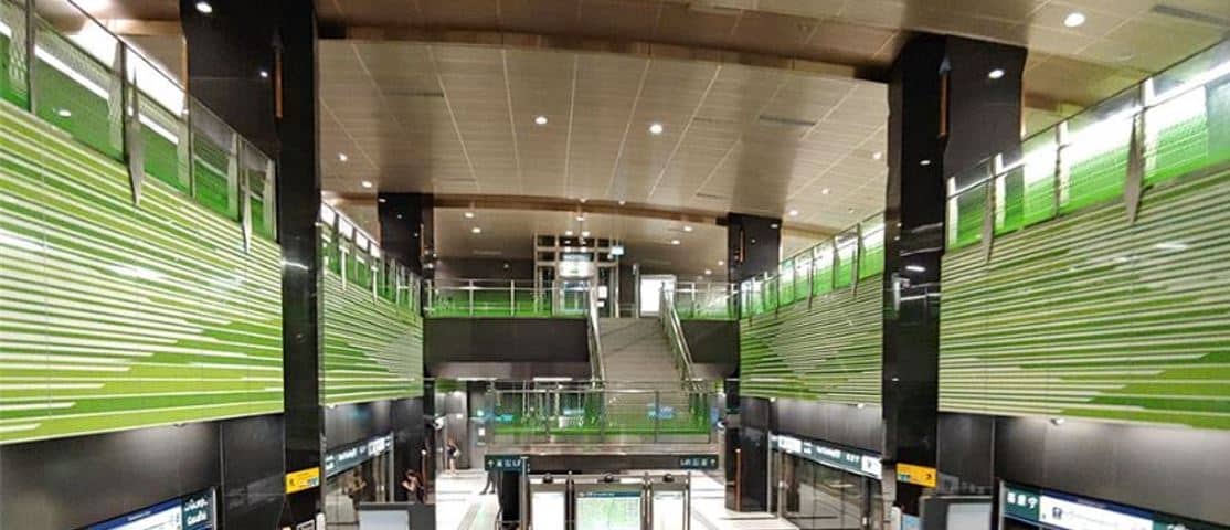
Downtown Line (B2) Platforms
Both platforms of Fort Canning station are used for trains travelling in either direction, forming an island platform arrangement. The air-conditioned station is isolated from the subterranean environment by full-height Platform screen doors, which improve commuter safety and station comfort. Expected train arrival times and message displays on Passenger Information Systems are plasma display panels positioned at each platform. Tactile flooring aids the sight-impaired in getting from the platform to the station exits. A pair of cripple sidings parallel to the running lines and divided a concrete wall hidden from view from the platform.


