


Bendemeer MRT

Everything Know About Bendemeer MRT Station
Bendemeer MRT station gets its name after Bendemeer Road, which is only a short distance away, despite its placement beneath the road and the Kallang Bahru industrial complex, built beneath Kallang Bahru Road, at the intersection with Kallang Avenue. This station serves the Lavender Street commercial district and the Kallang Avenue industrial areas. The Bendemeer MRT station gets located near the Kallang Bahru industrial complex and the shophouses and commercial buildings on Lavender Street.

History
On August 20, 2010, the 16 stations of the 21-kilometre (13-mile) Downtown Line Stage 3 (DTL3) from River Valley (now Fort Canning) to Expo stations were opened, with the station initially named Jalan Besar. In 2017, the line was supposed to get finished. In August 2011, Penta-Ocean Construction Co. Ltd. was awarded Contract 933 for the construction of Bendeemer station and accompanying tunnels at S$215.24 million (US$171.13 million). Construction gets set to begin in September of that year, with a completion date of 2017.
The twin 2.25 km tunnels connecting Jalan Besar, Bendemeer, and Geylang Bahru stations were excavated beneath ancient pre-war shophouses along Jalan Besar Road, necessitating meticulous and severe management of the tunnelling works beneath it. The tunnels were built with steel-fibre reinforced concrete (SFRC) segments for the first time in Southeast Asia, ensuring long-term tunnel durability. As announced by the Land Transport Authority on May 31, 2017, the station opened on October 21, 2017.

Platforms
Both platforms at Bendemeer station are used for trains travelling in either direction, forming an island platform arrangement. The air-conditioned station is separated from the tunnel environment by full-height Platform screen doors, which improve commuter safety and station comfort.
Expected train arrival times and messages get displayed on passenger information systems, which are plasma display panels positioned at each platform. The visually impaired can use tactile flooring to help them get from the platform to the exits.

Concourse
The concourse has faregates for automatic fee collection and access between the station’s paid and unpaid sectors and at least one bidirectional wide-swinging gate for passengers in wheelchairs, those carrying heavy objects, or those travelling with prams.
Commuters can buy tickets for single or many rides through General Ticketing Machines, which also accept contactless card transactions.
Art in Transit
Chang’s fabric metaphor implies merging the past and present as a tribute to the area’s textile culture. The dynamic ‘tug and pull’ creates a delicate bending and repetition that alludes to time’s ebb and flow. Both the familiar and the forgotten get boosted. A football in mid-air recalls a historical stadium, as Peranakan tiles of shop-houses drift with snatches of mall facades.
Chang’s ‘Fabric of Time’ has embroidered, sewn, or enfolded textures with Pleats, wrinkles, and complex layers. Batiks, French lace and sulam embroidery, paisley, and stencilled prints with peonies, hibiscus, roses, and butterflies symbolising ephemeral beauty are among the images she uses. Chang’s ‘And A New World,’ named after the once-iconic New World Amusement Park, vibrates with constant change.
You may also like

Pasir Ris Neighbourhood
Pasir Ris Neighbourhood is close to Tampines and Paya Lebar towns. The town can easily be accessed via public and private transport systems.

Orchard Neighbourhood
Orchard Neighbourhood is in the Central part and a famous attraction in Singapore where upscale shopping centers, restaurants, and stores are located.

Novena Neighbourhood
Novena Neighbourhood is within Singapore's Central Region that can be accessed by MRT. Some of its neighboring towns are Toa Payoh and Kallang.

Newton Neighbourhood
Newton Neighbourhood is a planning area within the Central Region of Singapore near Novena and Tanglin Towns. It mostly caters to expatriate families.

Marsiling Neighbourhood
Marsiling Neighbourhood is a suburb of Woodlands and has a denser estate in Singapore than nearby areas. It offers several housing options as well.

Marine Parade Neighbourhood
Marine Parade Neighbourhood is in Central Region bordering Geylang and Bedok with public and private housing flats and a community building.

Macritchie Reservoir Neighbourhood
Macritchie Reservoir Neighbourhood is next to Lornie Highway near Opp Road and Thomson Road, with bus networks and MRT stations nearby.

Little India Neighbourhood
Little India Neighbourhood is in the east of the Singapore River, just across from Chinatown is an ethnic district and home to most Indian ethnic communities.

Kranji Neighbourhood
Kranji Neighbourhood is 22 kilometres from the city center and is in the northwestern part of Singapore. It is a suburban area near Turf Club and Sungei Kadut.

Kallang Neighbourhood
Kallang Neighbourhood is a residential town in the Central Region of Singapore around the Kallang River, with its nearby towns like Geylang and Marine Parade.
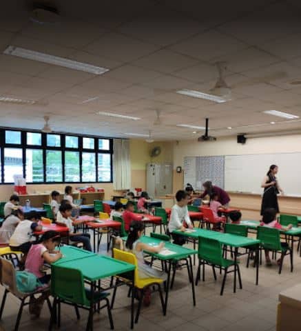
Edgefield Primary School Classroom
Edgefield Primary School Classroom
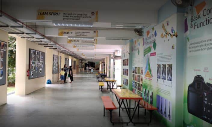
Edgefield Primary School Hallway
Edgefield Primary School Hallway

Edgefield Primary School Lobby
Edgefield Primary School Lobby
Edgefield Primary School Logo
Edgefield Primary School Logo